

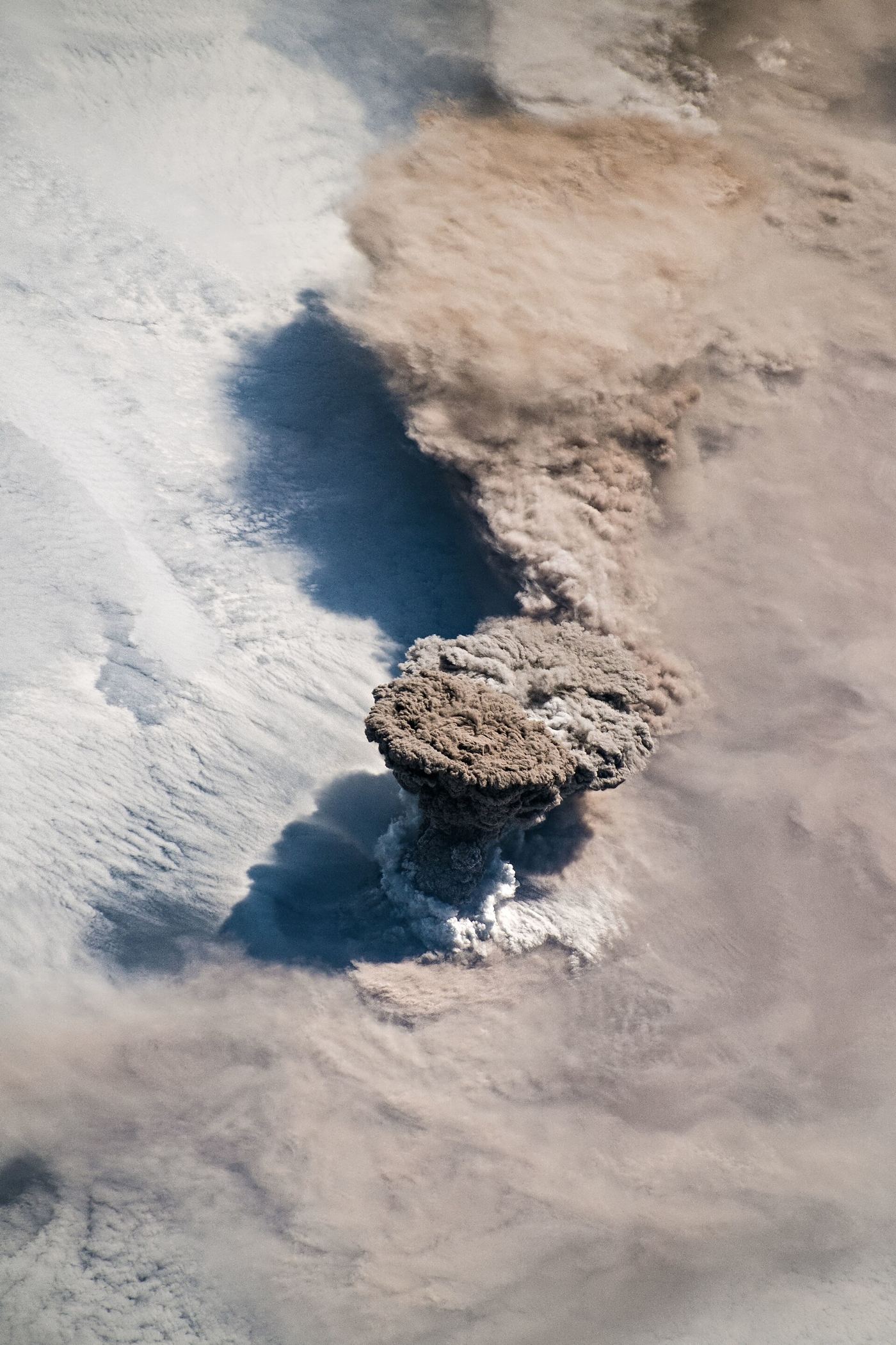
Most of an island volcano hides underwater, which means the earliest signs of unrest can begin on the seafloor where nobody is watching. Volcanologists are working to close that blind spot by placing instruments on the seabed around volcanic islands: pressure sensors that detect the ground swelling as magma moves below, seismometers that listen for the small earthquakes that accompany rising molten rock, and gauges that spot changes in water temperature and chemistry near underwater vents. On land, similar networks have repeatedly given towns valuable hours or days of warning before eruptions, but the flanks of island volcanoes often extend far out to sea, and a collapse or eruption beginning on a submerged slope can also generate dangerous waves. Cabling instruments to shore provides constant power and real-time data where budgets allow, while battery-powered units that store readings for later collection offer a cheaper option for remote islands. Research teams testing both approaches say the seabed records have already clarified how several recent episodes of unrest developed, including swarms of tiny quakes that land-based stations, screened by distance and ocean noise, had missed almost entirely.
What the Evidence Shows
The practical challenge is keeping delicate equipment alive in one of the harshest environments on Earth, where salt water corrodes metal, fishing gear can snag cables, and the volcano itself may bury a sensor in ash or lava. Engineers have responded with tougher housings, redundant instruments, and designs that can be dropped from a ship and later recovered by an acoustic release rather than by divers. Data handling is improving too, as software trained on past eruptions helps observatories separate meaningful warning patterns, such as steadily shallowing earthquakes, from the constant background rumble of waves and marine life. For island communities, the goal is not perfect prediction, which scientists say remains out of reach, but a clearer ladder of alert levels backed by evidence from both land and sea. Evacuation drills in several volcanic islands now use scenarios informed by seabed data, including the possibility of waves arriving much faster than an eruption column becomes visible. Reporting and analysis from sources such as National Science Foundation track the same developments, and specialists following the seafloor volcano sensors say the direction is now consistent across independent lines of evidence.
The Wider Context
The wider context is a research landscape in which replication and open data now decide reputations. Findings connected to the seafloor volcano sensors are being checked by independent groups with shared datasets, and the teams involved publish their methods in full so rivals can test every step. That discipline is slower than a headline cycle, but it is why results in this area increasingly survive first contact with scrutiny.
What Happens Next
What happens next in the story of the seafloor volcano sensors will be decided by follow-up work already under way: larger samples, longer observation and instruments that have not yet come online. The researchers involved are unusually united on one point, that the current results justify the next investment of time and money. Readers will not have to wait long for the first tests of that claim. You can follow related developments in our coverage of science.
There is a practical lesson in all of this for readers deciding what to do today. Start with the verified facts, be wary of anyone promising certainty, and prefer reversible steps while the evidence is still developing. Circumstances differ by country, income and personal situation, so general guidance should always be weighed against your own context before you act on it in any significant or lasting way.
