

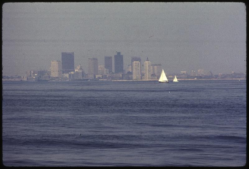
Residents in several large cities can now check hourly air quality maps before deciding how to travel, exercise, or spend time outdoors, as councils publish more detailed readings from monitoring networks across their streets. The maps combine data from fixed monitoring stations and smaller sensors to show how pollution levels vary between busy junctions, residential districts, and greener areas at different times of day. Public health teams said the aim was practical guidance rather than alarm, helping people with asthma, heart conditions, or young children choose cleaner routes and quieter times for journeys on foot or by bicycle. On mornings when haze sits over the skyline and traffic builds, levels near main roads can rise noticeably, while parks and side streets often record cleaner air only a short distance away. Councils stressed that the maps also support longer term decisions, revealing persistent hotspots where traffic management, cleaner buses, or tree planting might make the greatest difference. The launch follows growing public interest in understanding local conditions rather than relying on a single citywide figure that can hide sharp differences between neighbourhoods.
What the Evidence Shows
Environmental groups welcomed the transparency but argued that information must be paired with measures that reduce emissions at source, including reliable public transport and safer walking and cycling routes. Transport officials said the new data would feed into planning for school streets, freight delivery timing, and the placement of future monitoring equipment in districts that have historically had fewer sensors. Technology teams explained that readings are quality checked before publication, with sensors recalibrated regularly to keep the maps trustworthy for everyday decisions. Health professionals advised that people who notice symptoms on high pollution days should follow their personal management plans and seek advice if breathing difficulties persist, rather than relying solely on map colours. Schools near busy roads said they would use the information when scheduling outdoor activities on still, hazy days, moving sessions indoors when levels peaked around drop off and collection times. Councils plan to review usage after the first season and publish a summary of what the finer grained data reveals about pollution patterns across different types of neighbourhood. Reporting and analysis from sources such as Associated Press track the same developments, and specialists following the hourly air quality maps say the direction is now consistent across independent lines of evidence.
The Wider Context
Regional and local reporting on the hourly air quality maps often tells a different story from national coverage, because the effects land unevenly: one town’s pilot is another’s distant proposal. Analysts who follow the subject full-time read the local data first, arguing that national averages conceal the variation that decides whether a policy or a project deserves to spread.
What Happens Next
The longer story of the hourly air quality maps is still being written by the people closest to it, whose experience rarely matches the earliest predictions of either supporters or critics. Reporting will continue to follow the evidence as it accumulates, including where it complicates today’s account. That is the deal serious coverage makes with its readers, and it holds for this subject as for any other. You can follow related developments in our coverage of news.
It is also worth remembering how quickly the picture in this area has changed before. Positions that looked settled a few years ago have been revised as new data arrived, and the same humility is appropriate now. The strongest coverage of this subject, and the most useful advice, tends to come from sources that update their views openly when the facts move, rather than defending an earlier position long after it has stopped fitting the evidence available.
