

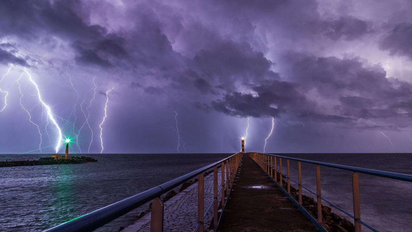
Winter thunderstorms behave differently from their summer counterparts, producing fewer but sometimes stranger lightning flashes in shallower clouds driven by cold-season fronts and coastal winds. A recent field campaign set out to map that lightning in three dimensions, deploying networks of radio sensors that record the tiny pulses emitted as a flash develops, step by step, inside the cloud. Combined with weather radar, the maps show channels branching through regions of ice crystals and supercooled water, revealing how charge separates in storms that lack the towering updrafts of summer. Winter flashes also more often strike the sea, tall structures and wind turbines, and a larger share carry strong positive charge, which can be especially damaging. Understanding where those flashes initiate helps explain the risk to coastal infrastructure during the stormiest months. The campaign deliberately ran through the least convenient weather of the year, with instruments icing up and field teams working short, cold days to keep the sensor network calibrated and complete.
What the Evidence Shows
Beyond the immediate hazard questions, winter lightning data help test the electrical models embedded in weather and climate simulations. Most lightning schemes were tuned on summer continental storms, so cold-season maritime storms provide an independent check on whether the physics generalises. The three-dimensional maps also show how often flashes escape the cloud sideways or upward, information used to improve detection networks that locate strikes for power utilities, aviation and emergency services. Each accurately located flash improves nowcasting systems that warn of intense rain and damaging gusts arriving with the same storm. Researchers are additionally comparing lightning patterns with measurements of ice and graupel inside the clouds, since collisions between those particles are thought to drive the charging process itself. As winters warm and storm tracks shift, the boundary between summer-style and winter-style thunderstorms may move, changing lightning risk in regions unaccustomed to it. Campaigns like this one provide the baseline observations needed to notice that change early and describe it credibly. Reporting and analysis from sources such as National Science Foundation track the same developments, and specialists following lightning mapped inside winter thunderstorm clouds say the direction is now consistent across independent lines of evidence.
The Wider Context
The wider context is a research landscape in which replication and open data now decide reputations. Findings connected to lightning mapped inside winter thunderstorm clouds are being checked by independent groups with shared datasets, and the teams involved publish their methods in full so rivals can test every step. That discipline is slower than a headline cycle, but it is why results in this area increasingly survive first contact with scrutiny.
What Happens Next
What happens next in the story of lightning mapped inside winter thunderstorm clouds will be decided by follow-up work already under way: larger samples, longer observation and instruments that have not yet come online. The researchers involved are unusually united on one point, that the current results justify the next investment of time and money. Readers will not have to wait long for the first tests of that claim. You can follow related developments in our coverage of science.
There is a practical lesson in all of this for readers deciding what to do today. Start with the verified facts, be wary of anyone promising certainty, and prefer reversible steps while the evidence is still developing. Circumstances differ by country, income and personal situation, so general guidance should always be weighed against your own context before you act on it in any significant or lasting way.
